Royal Chiltern way
The Royal Chiltern Way is a Cycling UK bikepacking route around the Chiltern National Landscape. The route is about 170 miles long and forms a loop made up of bridleways, canals, byways, and a few quiet country lanes. I took this route on at the end of November 2025 after quite a bit of rain, so it was interesting to see how the trails would hold up. I also have a lot of experience cycling here from around 15 years ago when I first got a mountain bike. Growing up not far away in Bicester meant that if I wanted hills, the Chilterns were a good option. Anyway, let’s get into this.
This route officially starts in Reading (pronounced red-ing for those not local). Being a loop, there are plenty of other places you could start, whether using public transport or your own car. Reading has good transport links so it is a convenient place to begin, but if you are using the train, other places directly on the route include Henley on Thames, Princes Risborough, Great Missenden, Chesham, Berkhamsted, Marlow, and Goring on Thames. As you can see, there are many options. The Chilterns are located just outside the M25 and London, and while it is close to the city, the area feels a million miles away.
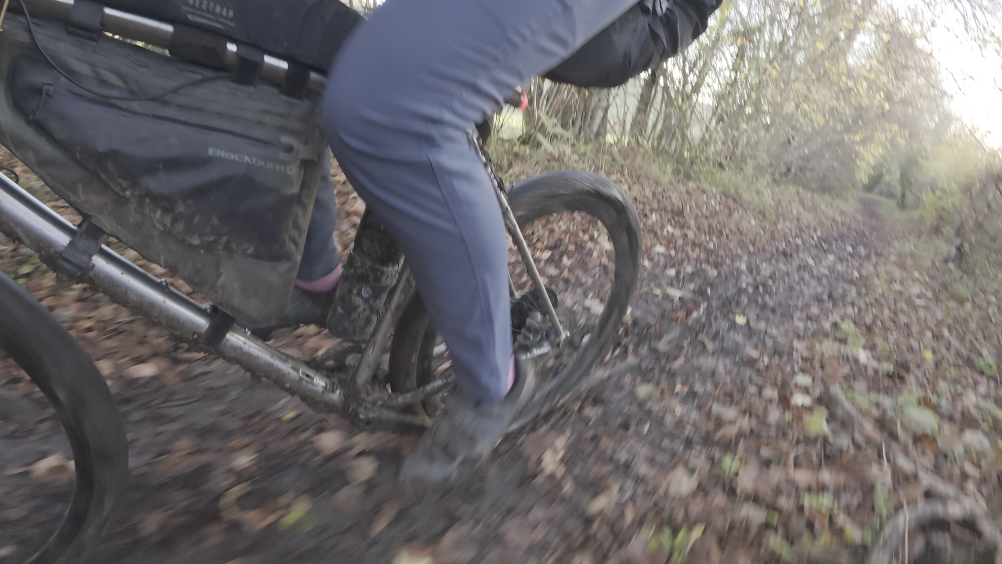
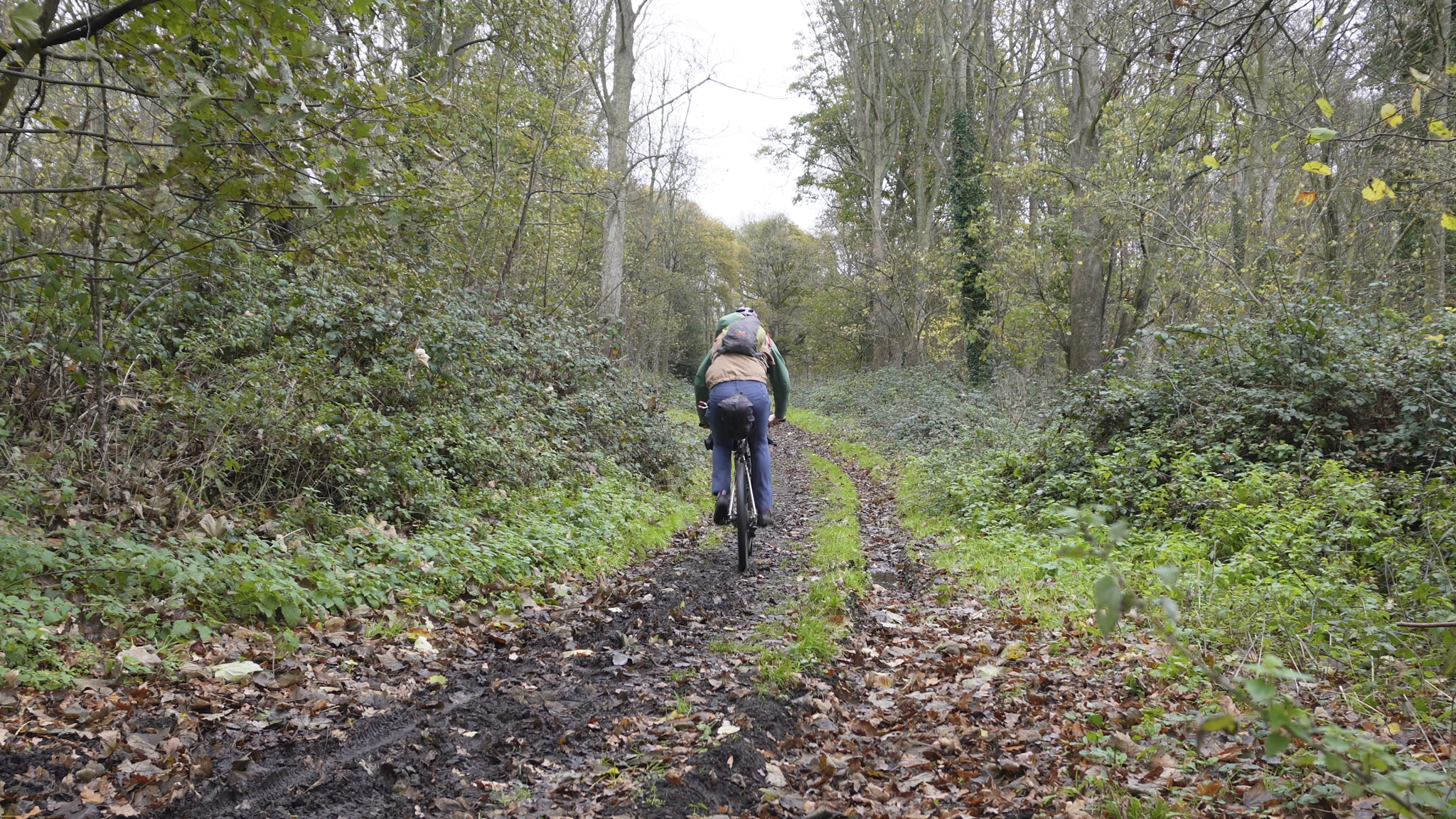
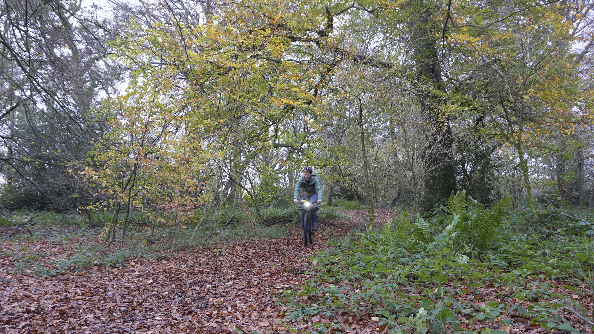
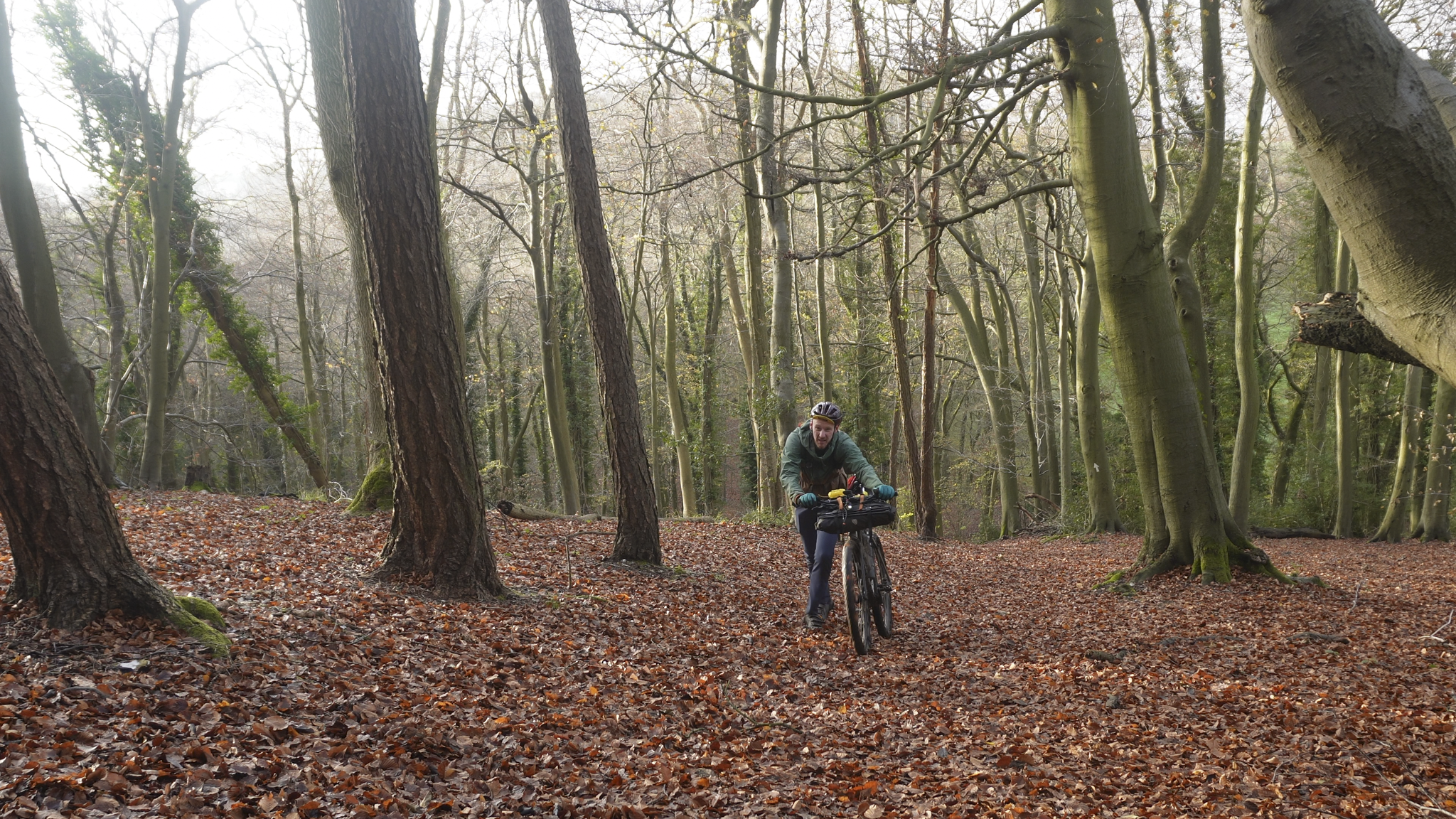
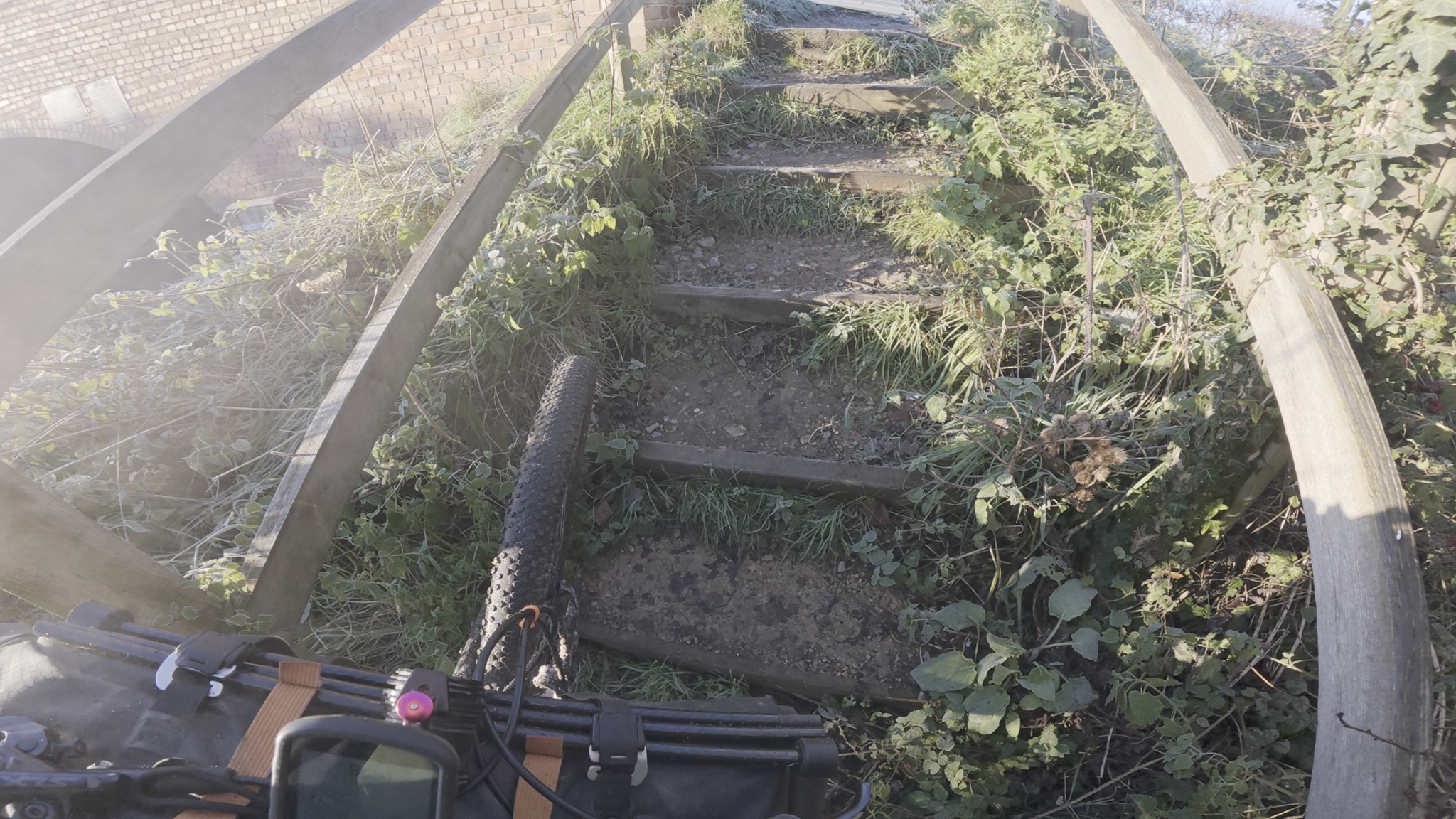
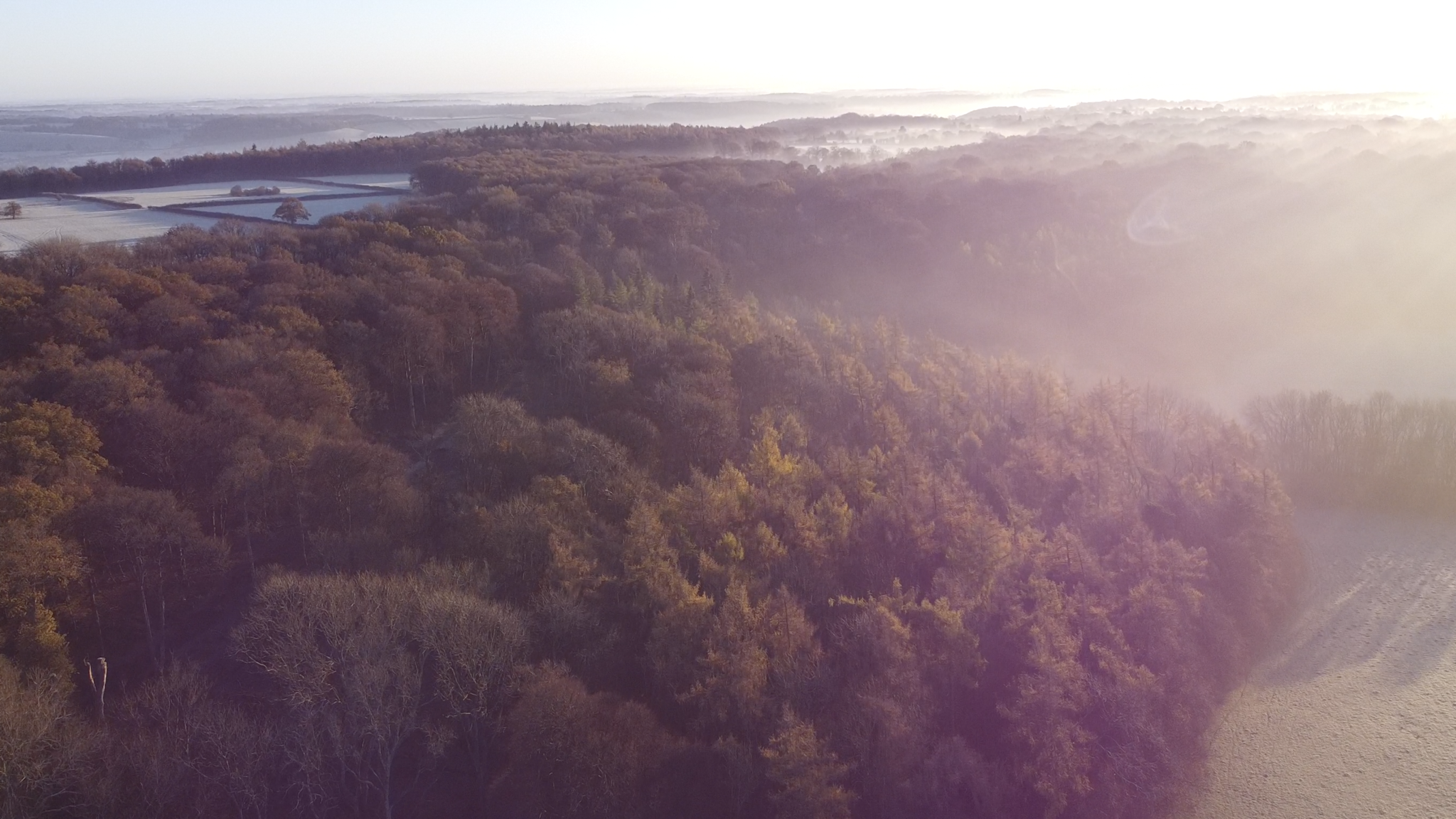
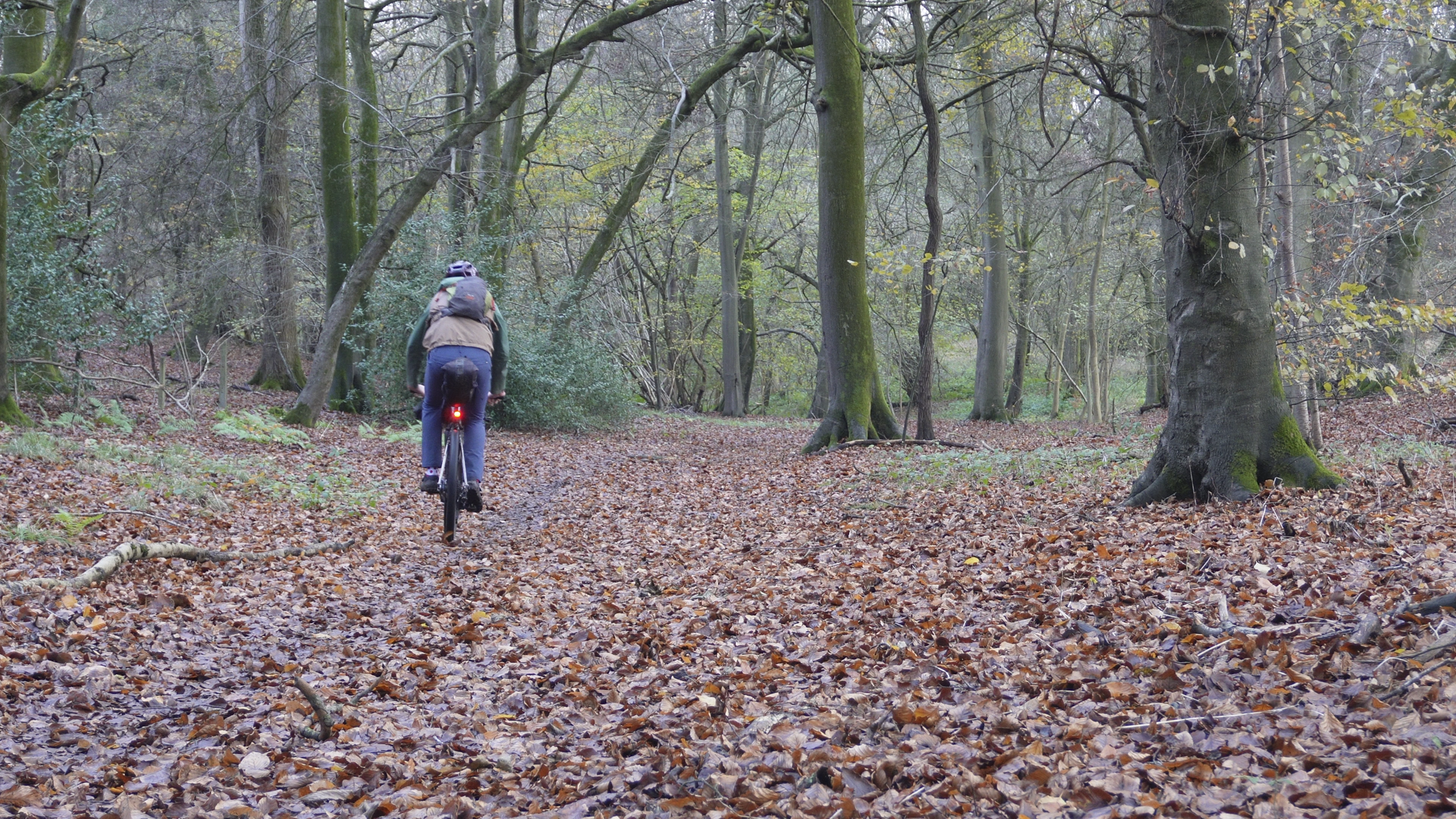
The Chilterns consist of rolling chalk hills, ancient woodlands, and never-ending trails, which makes for great riding. I am putting this in the intermediate difficulty category because, while it is not overly technical, it can be steep, slippery, and hard work at times, with some short hike-a-bike sections. It is not really a gravel bike route, although it can be managed on one. It is more suited to a mountain bike, as many of the trails are single track and can be quite muddy depending on the time of year. The route does not have many flat miles either. It is usually either up or down, with not much in between, so a mountain bike position is better suited to this kind of terrain.
Most of the route follows bridleways and restricted byways, so you will spend most of your time off-road and away from traffic. There are a few stretches of road where you will come into contact with vehicles, mostly as you come into towns and villages. One thing to note is that the road after leaving Ivinghoe, before turning off the road here it was quite busy and had some unimpressive driving. It may have just been the time of day I passed through, but it is worth being aware. Make sure you are comfortable riding on the road, as there are a few sections here and there.
Direction of travel
Being a loop, you can ride the Chilterns Way in either direction. I do not think it makes a huge difference to the enjoyment because whichever way you choose will still mean plenty of ups and downs. I think the suggested direction is probably better overall, as some of the narrow trails work nicely as descents.
Which bike?
I rode this on a flat-bar gravel bike with 50 mm tyres and a 38 x 11/46 gearing setup. Overall, it handled the route well. There was not much I could not ride or did not feel confident riding, although a few trails were close to not being fun, mostly because it was winter, wet, and slippery. In the summer when the trails are dry, these sections are easier. I would not recommend a drop-bar gravel bike for most people on this route, although it would be fine in the drier months if you are comfortable. To have the best experience, a good hardtail mountain bike is the best choice. The position on a mountain bike is better suited to the single track descents and steep, sharp climbs.
Wild camping or accommodation
One of the reasons I waited until winter to ride this route was because the Chilterns are surprisingly good for wild camping, and the long dark nights make it an appealing time to do so. As the route spends most of its time weaving through the ancient woodlands, it is easy to find a discreet place to pitch for the night. It is simple to wander a little off the trail and hide in the trees. Just make sure to set up late, leave early, and leave no trace. Whether you prefer a tent, bivy, or hammock, this route gives you plenty of options. It is actually one of the UK routes I think is perfect for hammock camping.
If camping is not your thing, the good news is that the route is never far from a town or village where you can find a hotel or B&B. You may need to leave the route slightly, but it will never be more than a few miles.
Difficulty
Difficulty always comes down to personal experience, but I think this route is best for people who already have some mountain biking experience. The trails are not overly technical, meaning you will not find rock gardens or big drops, but they can be muddy and covered in fallen leaves or worse slippery chalk. That stuff and be insanely slippery. There are also very few flat miles. Some trails are narrow, and at certain times of year they can be overgrown. The real challenge is that the route is generally lumpy, and the single track requires concentration throughout.
Navigation
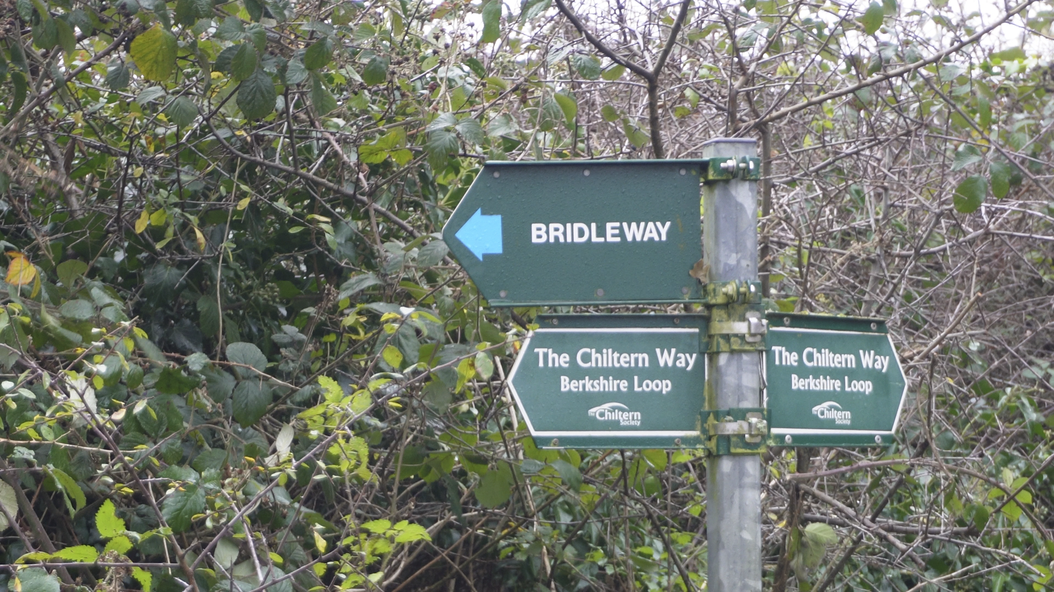
As this route uses bridleways, byways, canal paths, and country lanes, you will definitely need a good device with clear maps. It is easy to ride past some trails because many of them look like narrow tracks in the woods. Most are signed, which helps, but it is still possible to lose track of the trail. A GPS device on your bike will make a big difference. Just note that you spend a lot of time under tree cover, so your GPS might drift occasionally.
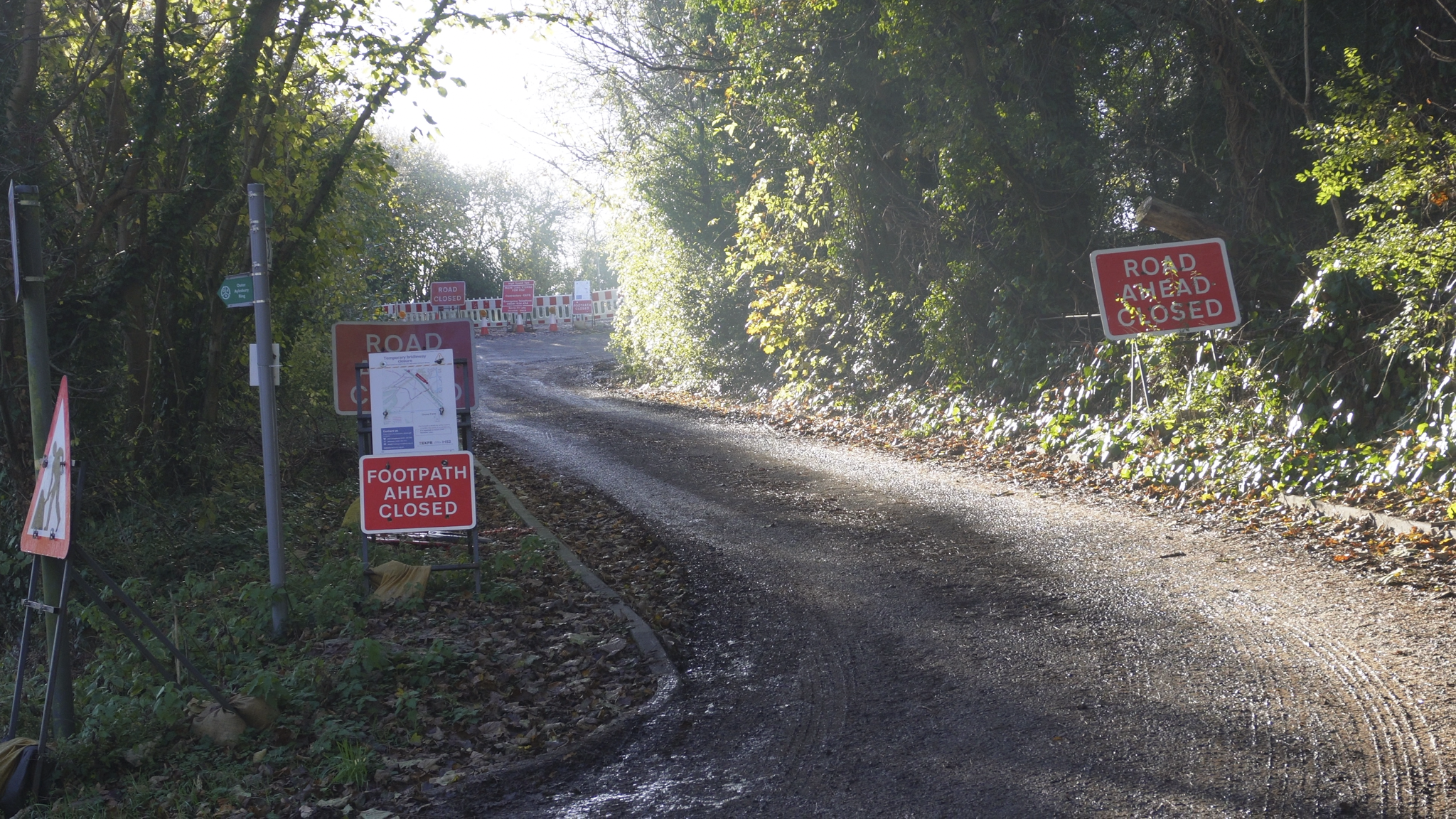
The route can be downloaded from Cycling UK or from the button below. The version offered here includes the diversion around HS2 at Wendover, which will not be finished for a while.